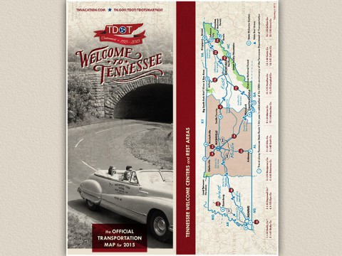
 Nashville, TN – The official 2015 Tennessee Transportation Map is now available for travelers. This year’s map contains new information to assist motorists, and features a special cover to commemorate the Tennessee Department of Transportation’s centennial.
The 2015 map contains historical photographs that look back at the development of Tennessee’s highway system over the last 100 years. It also highlights State Route 1, the first cross-state highway built by the state of Tennessee.

The 2015 state map can also be downloaded from the TDOT web site at www.tn.gov/tdot/maps.htm
Pre-printed maps may be ordered from TDOT online at www.tn.gov/tdot/MapOrder/maporder.htm or by mailing a request to:
Tennessee Department of Transportation
505 Deaderick Street
James K. Polk Building, Suite 900
Nashville, Tennessee 37243-1402
Individuals may request up to five free maps. Organizations and schools may order up to one hundred maps for their use.
The Official 2015 Tennessee Transportation Map is a joint effort between TDOT and the Tennessee Department of Tourist Development.


